
C2MS
Command-and-control for a private military operator
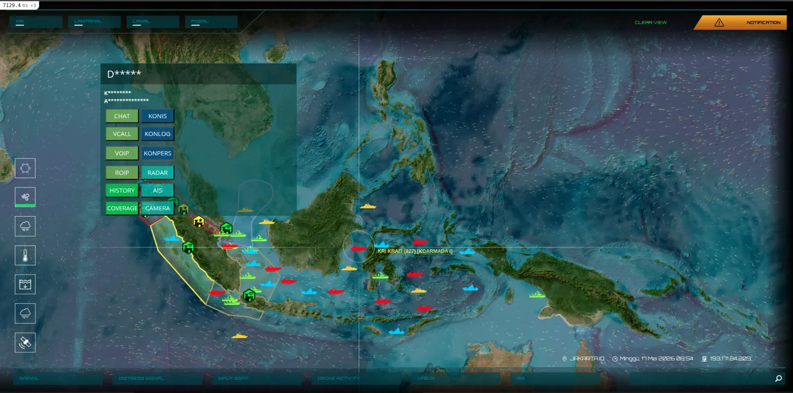
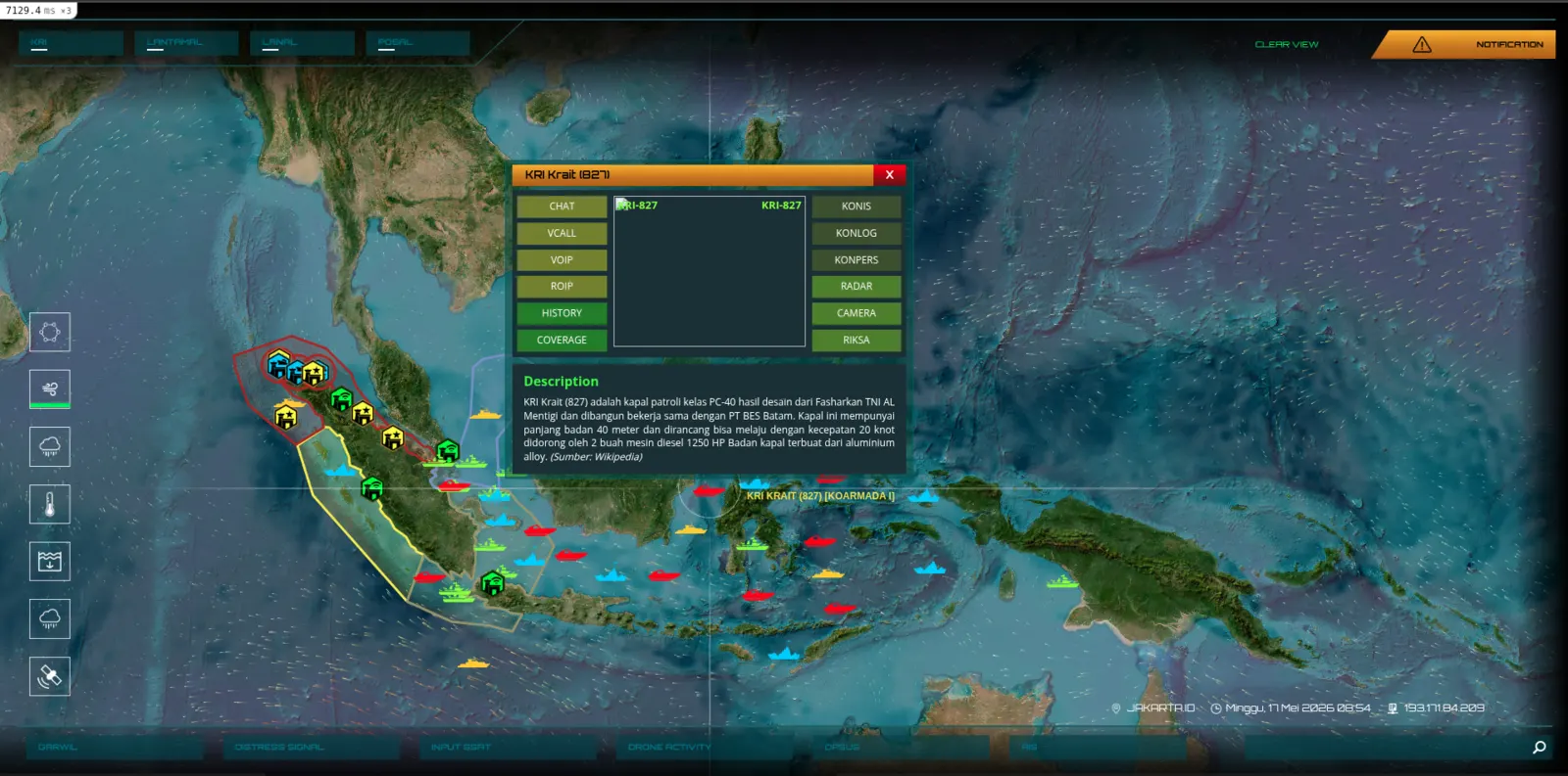
A geospatial intelligence platform serving a private military operator across the Indonesian archipelago. Real-time asset tracking, tactical layers, reconnaissance imagery, mission ops — built to run under operational duress, deployed across a country of seventeen thousand islands.
Что мы создали
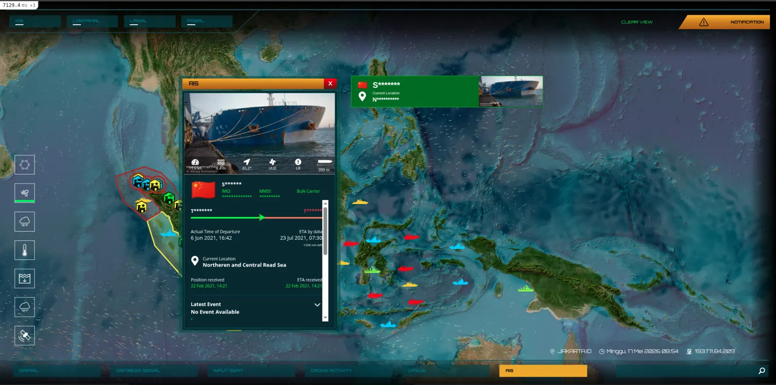
- Geospatial command dashboard with live unit positions
- Multi-layer tactical overlays + mission timelines
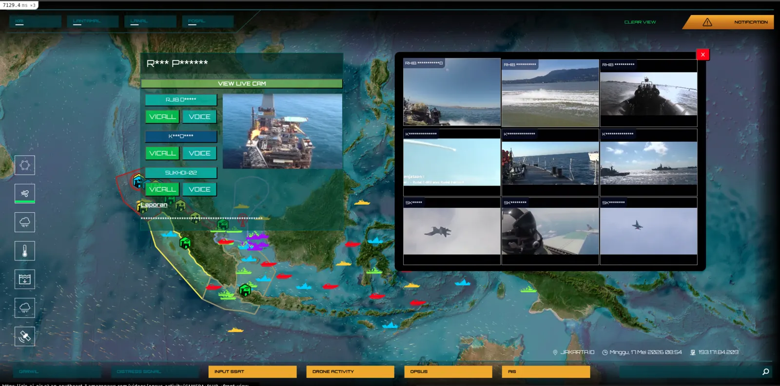
- Reconnaissance imagery and intelligence briefing tools
- Offline-first design for austere field deployments
Результаты
- 17,000+ islands of operating theatre coverage
- Real-time unit tracking under intermittent connectivity
- Multi-team coordination across a single common operating picture
Стек
Экраны
Есть система, которую вы хотите спроектировать как следует?
Wellcode.IO создаёт ПО для институтов Индонезии с 2015 года. Нужна ли вам полноценная инженерная команда, стратегический партнёр или просто хотите обсудить систему, с которой вы застряли — мы будем рады вас услышать.