
C2MS
Command-and-control for a private military operator
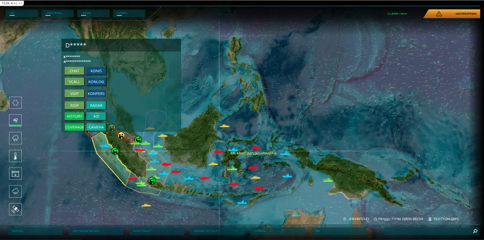
A geospatial intelligence platform serving a private military operator across the Indonesian archipelago. Real-time asset tracking, tactical layers, reconnaissance imagery, mission ops — built to run under operational duress, deployed across a country of seventeen thousand islands.
Hvad vi byggede
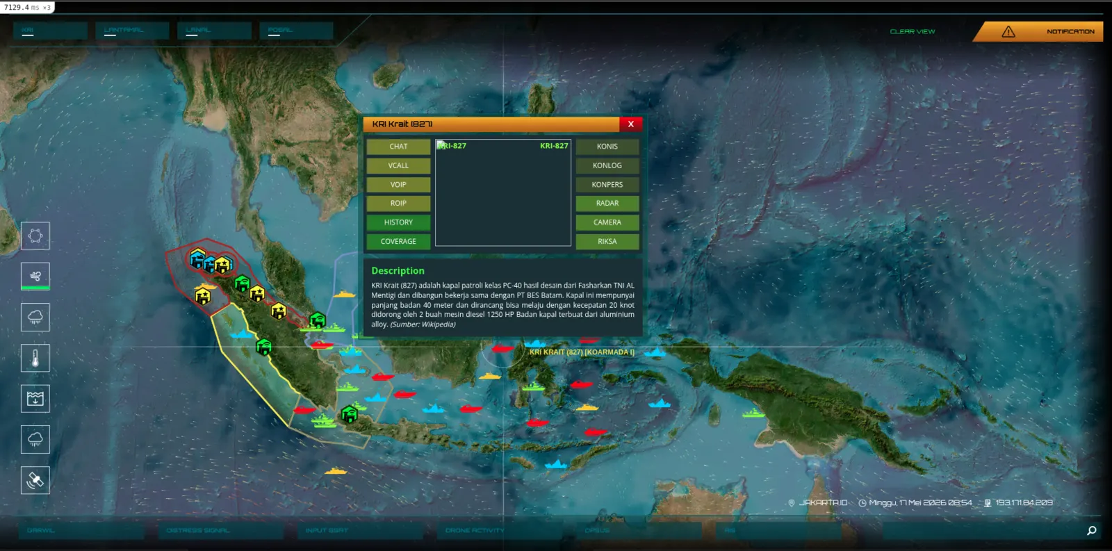
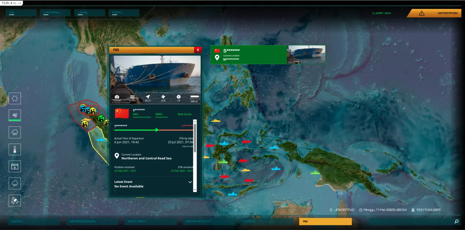
- Geospatial command dashboard with live unit positions
- Multi-layer tactical overlays + mission timelines
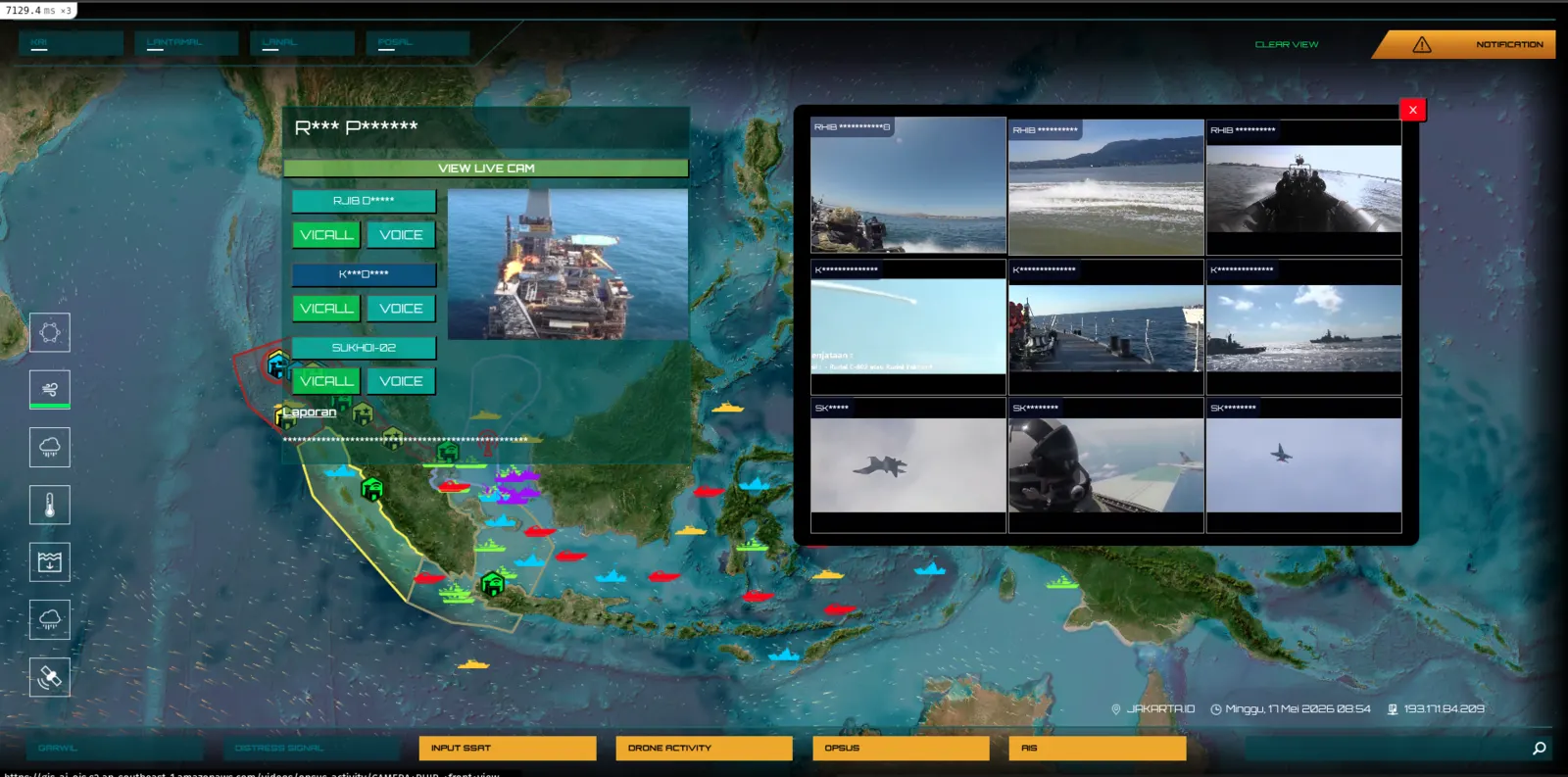
- Reconnaissance imagery and intelligence briefing tools
- Offline-first design for austere field deployments
Udbytte
- 17,000+ islands of operating theatre coverage
- Real-time unit tracking under intermittent connectivity
- Multi-team coordination across a single common operating picture
Stak
Skærmbilleder
Har du et system, du vil have bygget godt?
Wellcode.IO har bygget software for Indonesiens institutioner siden 2015. Uanset om du har brug for et komplet udviklingsteam, en strategisk partner, eller bare vil tale om et system, du sidder fast med — hører vi meget gerne fra dig.